
Work Package 2 | Land use types and forest management

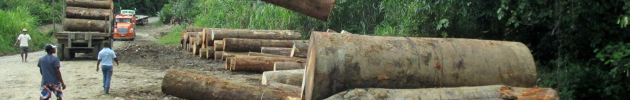
In WP 2 we will assess the impact of land use on forest area and forest structure. This is carried out on the basis of selected landscape cutouts and satellite images from WP 1. Data on carbon storage, biodiversity, tree composition, increment of commercial timber species and land use history will be collected. Primary and secondary forests, forest plantations and agroforestry plots will be assessed.

These data will allow concluding to which extent previous utilization was sustainable and is matching with economic, ecological and socio-economic requirements. We will analyze, whether today’s forest condition is the result of sustainable or unsustainable management and if agroforestry systems may be a viable option as alternative to agrarian and forest monocultures.

From these analyses we will derive recommendations for sustainable forest management and multifunctional forest landscapes. This will contribute to international forest policy issues which aim at forest protection through sustainable utilization of forest resources.

  • What was the influence of different land use systems on forest distribution in the past?(in combination with WP 1 and 3)
  • Was the forest utilization sustainable so far? Are future carbon sequestration andtree diversity safeguarded?
  • Which revenues are/were obtained from different land use systems? (in combination with WP 3)
  • How to improve the sustainability of existing land use types?
  • What are the revenues from improved land use forms? At which costs are these produced?

A stratification of satellite images according to fourforest strata (primary, secondary forest, forest plantation,agroforestry) will be implemented. Furtherstratification will be applied for

  • Primary forest: low versus high utilization intensity
  • Secondary forest: low versus high utilization intensity
  • Plantation forests: low versus high management intensity
  • Agroforestry:simple versus complex systems

Field data collection will take place in a standardizedsample plot procedure as described by SYNNOTT(1979). Plot size will be 25 x 25 m. One quarterof all sample plots will be established aspermanent plots (size 100 x 100 m) where the incrementof all trees (> 25 cm dbh) will be measuredby increment tapes. A re-measurement after3 years will allow the calculation of increment anda comparison with the average annual cut. Thesample plots in forest plantations and agroforestrysystems will be smaller (10 x 10 m).

Scroll to top